

|
|
Mackay Water Quality MonitoringCoverageThe map below highlights the areas where sampling has occurred for this program. Click on the map to view information about the drainage basins in this area. 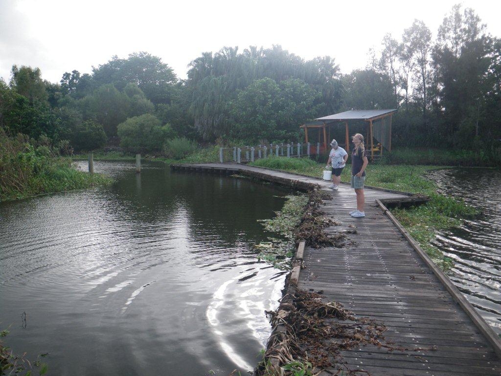 Program start date2008 Program end dateOngoing Objectives of the programMonitor Water quality at the Mackay Botanical Gardens. Who is involved?Lead organisationContact details of lead organisation: reception♲reefcatchments.com Partner organisationsPioneer Catchment Landcare, Friends of the Mackay Botanic Gardens List of indicators monitoredpH, EC, DO, water and air temp, turbidity, weather conditions, last rainfall, water level, water flow rate, stream data (width, depth, erosion, siltation), water appearance, water odour, exotic water plants, algal types, fish, phosphates Scale of programReach Brief description of sampling locations3 sites within the Lagoons Reserve, Botanic Gardens, Mackay Frequency of monitoringEvery 2 months Where is the program reported?Pioneer Catchment Landcare, Reef Catchments, Unidap Frequency of ReportingViariable Last updated: 22 March 2013 This page should be cited as: Department of Environment, Science and Innovation, Queensland (2013) Mackay Water Quality Monitoring, WetlandInfo website, accessed 18 March 2024. Available at: https://wetlandinfo.des.qld.gov.au/wetlands/assessment/monitoring/current-and-future-monitoring/mackay-water-quality-monitoring.html |
Site footer

 — Department of Environment, Science and Innovation