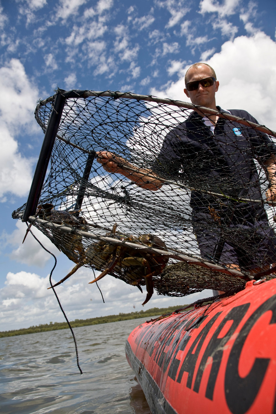
Assessing whether green zones have greater abundance of commercially and recreationally important adult fish and invertebrates than before proclamation and non-protected areas
Assessing whether Moreton Bay has a greater abundance of commercially and recreationally important adult fish and invertebrates as a result of spill-over from the green zones compared with before proclamation
Assessing whether there is less fishing pressure in green zones than there was prior to the changes to zones
Determining other external drivers of fish diversity, size and abundance in Moreton Bay, including catchment processes and management. This is essential for data to be interpreted in the long term.
Determining the effects of the no take zones on commercial and recreational fish catches and the subsequent effects on the secondary businesses which rely on trade from these professions
Comparing the condition of key habitat types that have been influenced by activities affected by the new zonings
Identifying and prioritising key species of concern that should be monitored and reported on. This includes iconic species of interest to various stakeholders, which are also likely to be indicative of changes to the marine park. Examples include dugongs, turtles, shorebirds, sharks and rays, syngnathids and some reef fish species.
Determining the distribution, abundance and condition of vulnerable species, vulnerable habitat and vulnerable life-stages of species within the bay to enable comparison of the effectiveness of the Marine Park to be assessed
Determining whether the implementation of 'go-slow' zones has resulted in greater abundance and better condition of turtles and dugongs
Determining whether the 'no-anchoring' zones have led to an improvement in the condition of reef habitats
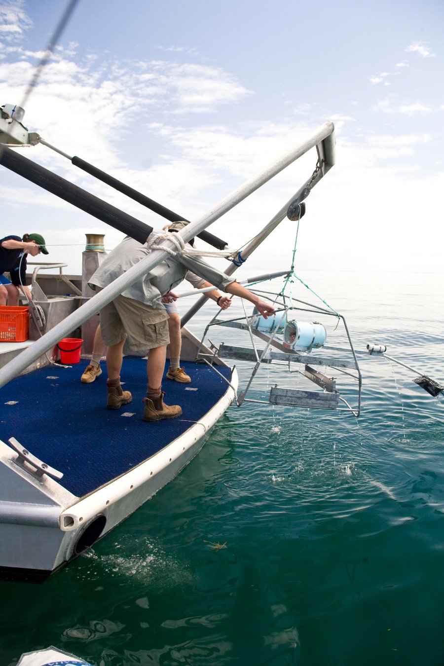
Determining whether closures which affect the aquarium fishery have led to increased numbers of target species in green zones, and whether the displacement of effort has affected fish numbers in sites where aquarium fish collection is permitted
Scale of program
Regional scale
Brief description of sampling locations
Moreton Bay Marine Park: Zones MNP01 – MNP33
Frequency of monitoring
The frequency of monitoring varies with specific projects within the program.
Department of Environment, Science and Innovation, Queensland (2016) Moreton Bay Marine Park Monitoring Program, WetlandInfo website, accessed 18 March 2024. Available at: https://wetlandinfo.des.qld.gov.au/wetlands/assessment/monitoring/current-and-future-monitoring/moreton-bay-marine-park-basin-salinity-management-strategy-annual-reporting-audit.html


 — Department of Environment, Science and Innovation