

|
|
WetlandUpdate August 2016Lake Eyre and Bulloo Basins Aquatic Conservation AssessmentAquatic Conservation Assessments (ACAs) are non-social and non-economic and designed with the sole intent of identifying conservation values of wetlands at a user-defined scale. Find out more about accessing the data and reports on the get mapping help page. The riverine and non-riverine data may also be accessed through WetlandMaps. Environmental reports online provide information on specific environmental values, by location. Groundwater Dependent Ecosystem Mapping Report: Comet, Dawson and Mackenzie drainage sub-basinsThis report documents the methods, conceptual understanding and technical outputs developed during the delivery of the GDE mapping project for the Comet, Dawson and Mackenzie River drainage sub-basins. Queensland reservoirs mappingQueensland reservoirs mapping has been added to WetlandMaps. This dataset displays the reservoirs (man-made water bodies surrounded by land where the water is used for drinking, irrigation or watering of stock and or horticulture) covering the State of Queensland. The Reservoirs - Queensland dataset shows reservoirs greater than 625 sq metres at full supply level. Treatment systems in coastal catchments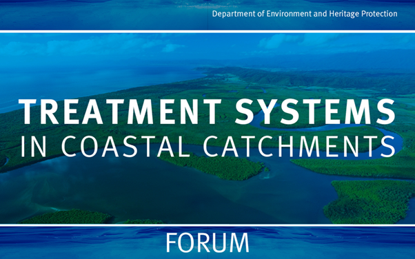 This report provides a summary of the speakers’ presentations, questions and answers from the Treatment Systems in Coastal Catchments Forum held on 8th July 2016. The Forum provided an overview of innovative new approaches to treatment systems, including constructed wetlands, floating wetlands, bioreactors, algae treatment and other technologies, which have the potential to reduce nutrients and pesticides from diffuse rural sources in the coastal catchments of Queensland. Wetland projects search toolNew projects have been added to the Wetland projects search tool. Additional WetlandSummary areasNew summary areas have been added to the WetlandSummary tool:
Updates, improvements and links
WetlandUpdateThe WetlandUpdate is a regular bulletin sent to subscribers to provide them with the latest WetlandInfo resources and tools, as well as case studies, video information and new project fact sheets. View all of the previous WetlandUpdates Updated tools fact sheetQueensland Wetlands Program tools fact sheet. WetlandInfo feedback and improvementsSend us your useful wetland information and links to add to WetlandInfo. Do you have a wetland question you just can't answer? Email us WetlandInfo feature frog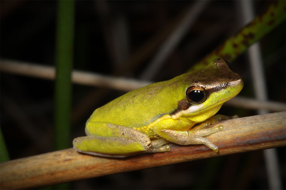
Litoria olongburensis
Photo by Harry Hines
Our WetlandInfo feature frog is Litoria olongburensis, commonly known as the Olongburra tree frog. This species is native to South East Queensland and neighbouring New South Wales, and is dependent on wetlands for its entire life. WetlandInfo updates this section regularly, so keep your eyes and ears open! For more information on frogs, visit Amphibiaweb or the Frogs of Australia website, or view species profiles in your area using WetlandSummary. Last updated: 30 July 2016 This page should be cited as: Department of Environment, Science and Innovation, Queensland (2016) WetlandUpdate August 2016, WetlandInfo website, accessed 18 March 2024. Available at: https://wetlandinfo.des.qld.gov.au/wetlands/resources/publications/latest-news/2016-08-20.html |
Site footer

 — Department of Environment, Science and Innovation