

|
|
WetlandUpdate May 2016Walking the Landscape catchment storiesTo effectively manage a catchment it is important to have a collective understanding of how the catchment works. Map journals provide a mechanism for integrating spatial information, photographs and animations with an informative narrative to demonstrate the features of the catchment. The information in the ‘catchment stories’ was compiled with experts using the ‘walking the landscape’ process, where experts systematically worked through a catchment in a facilitated workshop, to incorporate diverse knowledge on the landscape. The stories describe the location, extent and values of the Lockyer and Mid-Brisbane catchments. They demonstrate the key features which influence water flow, including geology, topography, rainfall and runoff, natural features, human modifications and land uses. Additional catchment stories are under development. So watch this space! Great Sandy Strait Regional Action PlanThe ISI report 3: Enhanced management of Ramsar site wetlands within the Great Sandy Strait catchments outlines the findings from an inventory of instream structures conducted in the Great Sandy Strait Ramsar site and five declared Fish Habitat Areas: Fraser Island, Susan River, Maaroom, Kauri Creek and Tin Can Inlet in 2012. Waterhole refuge mapping and persistence analysis in the Lower Balonne and Barwon–Darling riversWaterhole refuge mapping and persistence analysis in the Lower Balonne and Barwon–Darling rivers informs the management of river systems consistent with the Murray–Darling Basin Plan, where there is a need to understand how long waterholes can persist and how the spatial distribution of persistent waterholes changes as a drought progresses. The waterholes project was commissioned by the Murray–Darling Basin Authority to improve understanding of the location and persistence of waterholes in the Lower Balonne and Barwon–Darling regions of the northern Basin as part of the Northern Basin review. Updates, improvements and links
WetlandUpdateThe WetlandUpdate is a regular bulletin sent to subscribers to provide them with the latest WetlandInfo resources and tools, as well as case studies, video information and new project fact sheets. View all of the previous WetlandUpdates Updated tools fact sheetQueensland Wetlands Program tools fact sheet. WetlandInfo feedback and improvementsSend us your useful wetland information and links to add to WetlandInfo. Do you have a wetland question you just can't answer? Email us WetlandInfo feature frog—May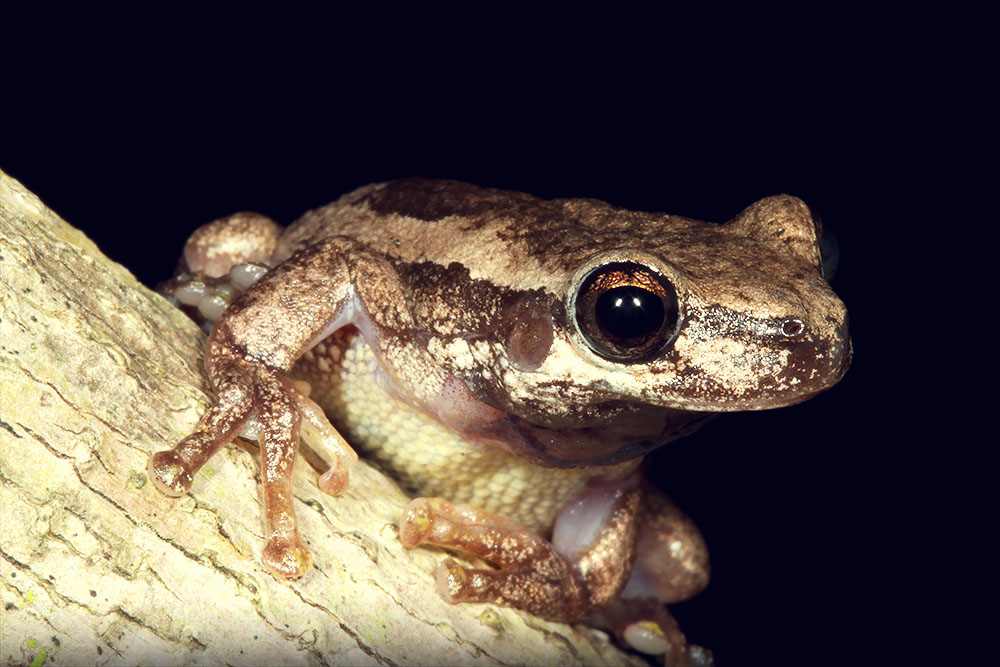
Litoria dentata
Photo by Harry Hines
Our WetlandInfo feature frog is Litoria dentata, commonly known as the bleating tree frog. This species is native to areas of Queensland and New South Wales, and is dependent on wetlands for their partial aquatic life. WetlandInfo updates this section regularly, so keep your eyes and ears open! For more information on frogs, visit Amphibiaweb or the Frogs of Australia website, or view species profiles in your area using WetlandSummary Last updated: 29 January 2016 This page should be cited as: Department of Environment, Science and Innovation, Queensland (2016) WetlandUpdate May 2016, WetlandInfo website, accessed 18 March 2024. Available at: https://wetlandinfo.des.qld.gov.au/wetlands/resources/publications/latest-news/2016-05-30.html |
Site footer

 — Department of Environment, Science and Innovation