

|
|
WetlandUpdate May 2018Walking the landscape—catchment storiesTo effectively manage a catchment it is important to have a collective understanding of how the catchment works. Catchment stories use map journals, integrated spatial information, photographs, animations and an informative narrative to demonstrate the features of catchments. These stories describe the location, extent and values of the Calliope catchment and Proserpine catchment. The stories demonstrate the key features which influence water flow, including geology, topography, rainfall and run-off, natural features, human modifications and land uses. The information was compiled using the walking the landscape process, where experts systematically worked through a catchment in a facilitated workshop, incorporating diverse knowledge of the landscape, to develop catchment stories. Updates, improvements and linksWetlandInfo has a new domain! Since the recent Machinery of Government changes in 2017, the previous Queensland Department of Environment and Heritage became the Queensland Department of Environment and Science. This change in structure and name has been reflected now in the domain name for WetlandInfo. Now is the time to update your bookmarks and links from https://wetlandinfo.ehp.qld.gov.au/ to https://wetlandinfo.des.qld.gov.au/ Projects from the Burnett Mary Regional group and Moreton Bay Regional Council have been added to the Wetland projects search tool. Projects from the Community Sustainability Action grants have also been added to the Wetland projects search tool. The Community Sustainability Action grants are providing $12 million over three years to eligible community groups and individuals for innovative projects which seek to address climate change, conserve Queensland’s natural and built environment and protect our unique wildlife. WetlandUpdateThe WetlandUpdate is a regular bulletin sent to subscribers to provide them with the latest WetlandInfo resources and tools, as well as case studies, video information and new project fact sheets. View all of the previous WetlandUpdates WetlandInfo feedback and improvementsContact us via email for feedback, information or questions about wetlands. WetlandInfo feature animalOur May feature animal is Crocodylus porosus, also known as the estuarine crocodile. The largest reptilian species alive today, the estuarine crocodile is found on the coasts of northern Australia, however is not endemic to Australia. Estuarine crocodiles are found from India, throughout south-east Asia and New Guinea, across to northern Australia, Vanuatu and the Solomon Islands. In Queensland, they are known to occur between Gladstone and Cape York Peninsula, and throughout the Gulf of Carpentaria. Although most commonly seen in tidal reaches of rivers, they also occur in freshwater lagoons, rivers, and swamps hundreds of kilometres inland from the coast. They can even be found along beaches and around offshore islands in the Great Barrier Reef and Torres Strait. Habitat destruction is now considered a major threat to crocodile survival in Queensland. Developments in swamps, mangroves and rivers are displacing crocodiles from their homes. Both the freshwater crocodile and estuarine crocodile are protected under Queensland legislation. WetlandInfo updates this section regularly, so stay tuned for more! 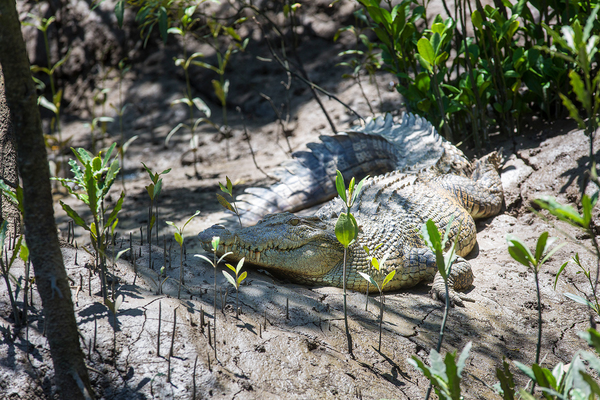
Estuarine crocodile
© Queensland Government
Last updated: 20 December 2017 This page should be cited as: Department of Environment, Science and Innovation, Queensland (2017) WetlandUpdate May 2018, WetlandInfo website, accessed 18 March 2024. Available at: https://wetlandinfo.des.qld.gov.au/wetlands/resources/publications/latest-news/2018-04-28.html |
Site footer

 — Department of Environment, Science and Innovation