

|
|
WetlandUpdate November 2015Queensland Wetland Mapping version 4.0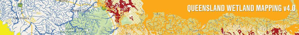
Updated Wetland Mapping data (version 4.0 updated to 2013) is available via:
Wetland projects search toolThe wetland projects search tool lists on-ground wetland and wetland related projects from a range of funding programs, stakeholder groups and land managers. It complements the Australian Government on-ground project database and search tool MERIT. Southeast Queensland Aquatic Conservation Assessment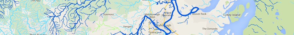
Aquatic Conservation Assessments (ACAs) are non-social and non-economic and designed with the sole intent of identifying conservation values of wetlands at a user-defined scale. In the Southeast Queensland Aquatic Conservation Assessment the AquaBAMM methodology has been applied separately to the non-riverine (i.e. palustrine and lacustrine) and riverine wetlands within each of the 16 catchments. There are 32 ACAs for the riverine and non-riverine wetlands in the study area. View report: Aquatic Conservation Assessment using AQUABAMM for the riverine and non-riverine wetlands of Southeast Queensland. The riverine and non-riverine assessments may be accessed through WetlandMaps. Find out more about accessing the data and reports on the get mapping help page. Environmental reports online provide information on specific environmental values, by location. Wetlands education modules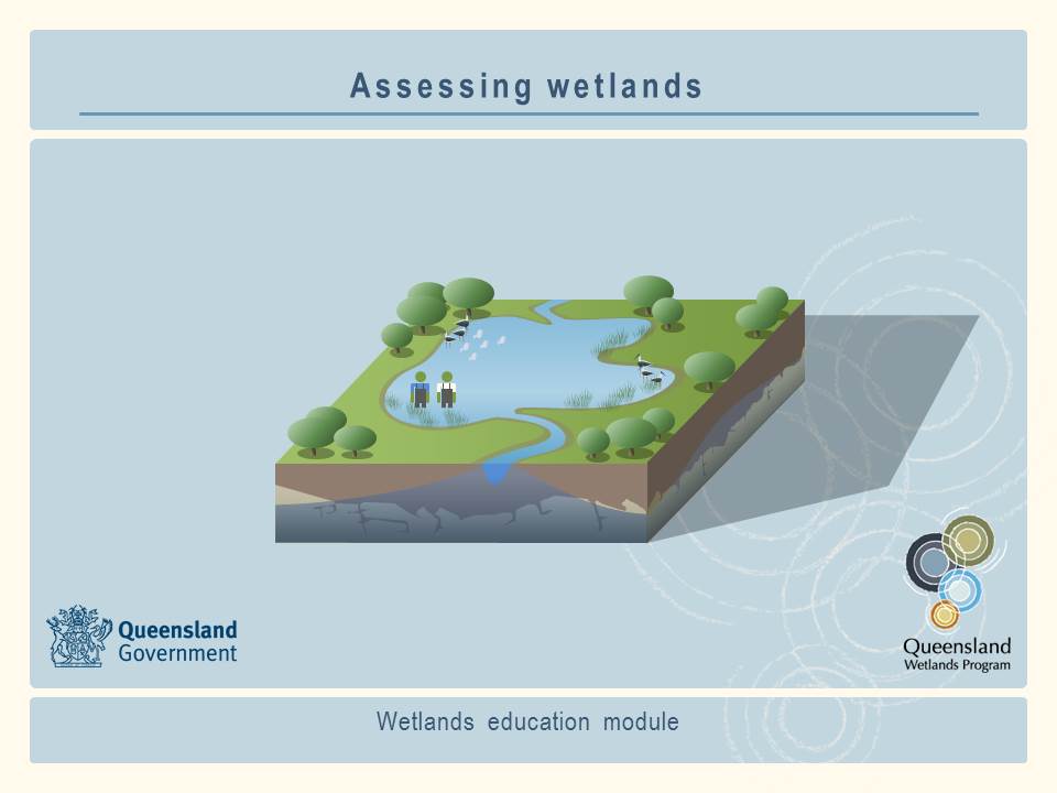 A series of on-line education modules have been prepared as a resource for people who want to learn more about wetlands. Users can download and use the contents of these education modules to meet their learning and training needs. This information should be used in conjunction with information found on this website. Two general education modules are being released: WetlandMapsSeveral new Queensland-wide layers have been made available through WetlandInfo's WetlandMaps service. The new layers now available on WetlandMaps are:
Updates, improvements and links
Updated tools fact sheetQueensland Wetlands Program tools fact sheet. WetlandUpdateThe WetlandUpate is a regular bulletin sent to subscribers to provide them with the latest WetlandInfo resources and tools, as well as case studies, video information and new project fact sheets. View all of the previous WetlandUpdates WetlandInfo feedback and improvementsSend us your useful wetland information and links to add to WetlandInfo. Do you have a wetland question you just can't answer? Email us WetlandInfo feature frog—September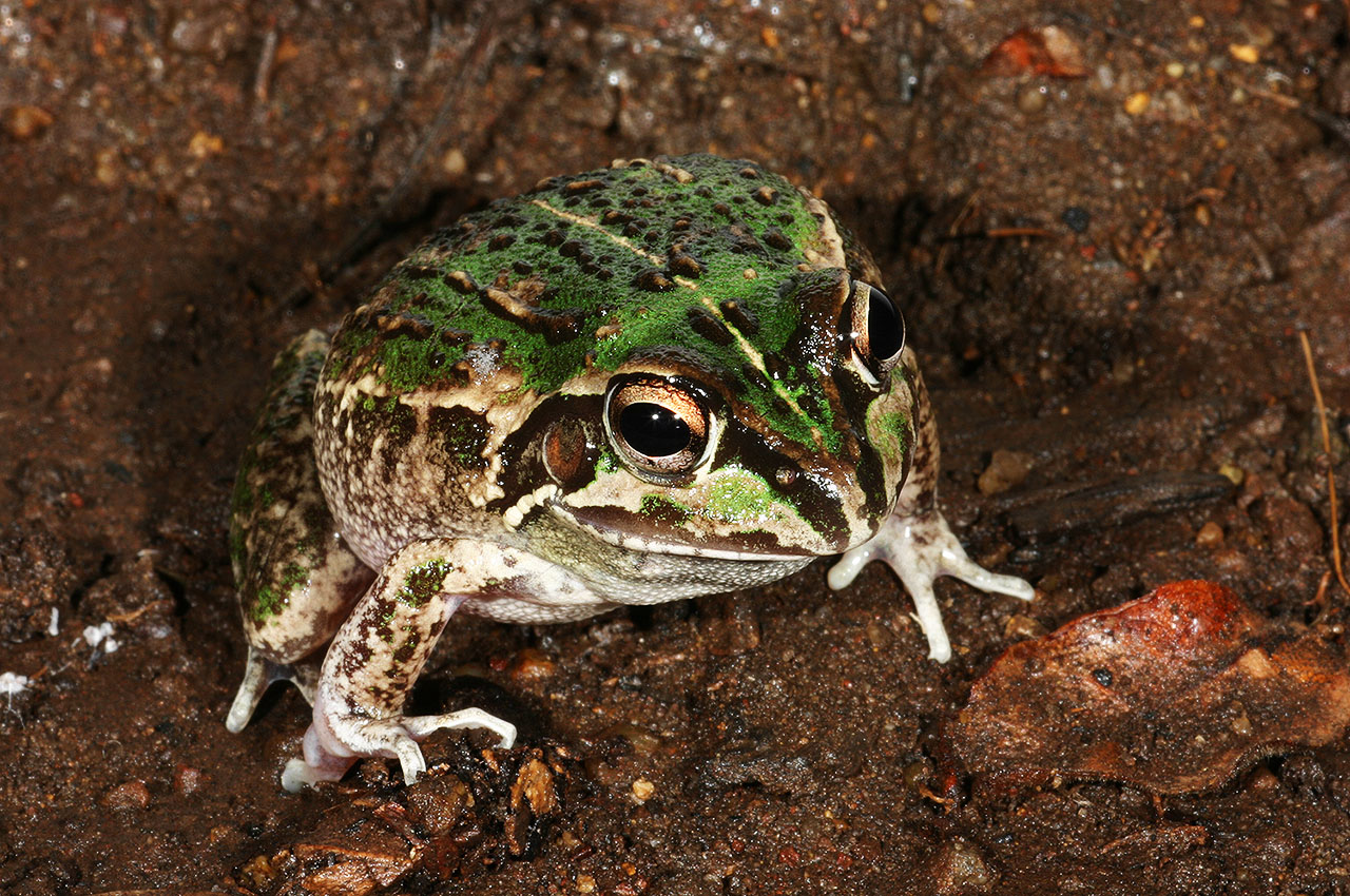
Cyclorana verrucosa
Photo by Harry Hines
Our WetlandInfo feature frog is Cyclorana verrucosa, commonly known as the rough collared frog. This species is native to areas of Queensland and New South Wales, and is dependent on wetlands for the early aquatic stage of their life cycle. WetlandInfo updates this section regularly, so keep your eyes and ears open! For more information on frogs, visit Amphibiaweb or the Frogs of Australia website, or view species profiles in your area using the SummaryInfo search tool
Last updated: 18 November 2015 This page should be cited as: Department of Environment, Science and Innovation, Queensland (2015) WetlandUpdate November 2015, WetlandInfo website, accessed 18 March 2024. Available at: https://wetlandinfo.des.qld.gov.au/wetlands/resources/publications/latest-news/2015-11-20.html |
Site footer

 — Department of Environment, Science and Innovation