

|
|
WetlandUpdate July 2015Groundwater dependent ecosystems (GDEs)
Shallowest watertable aquifer mapping
Shallowest watertable aquifer mapping identifies the extent and key characteristics of the shallowest watertable aquifers in a landscape. Watertable aquifers are unconfined geological formations that store and transmit groundwater. There may be other deeper aquifers not captured in this mapping (e.g. confined aquifers). Shallowest watertable aquifer mapping has been characterised according to a range of criteria including confinement, geology, porosity, groundwater flow system, salinity, pH, recharge process, temporal and spatial connectivity with surface ecosystems, etc. Shallowest watertable aquifer products include:
A landscape hazard assessment for wetlands in the Great Barrier Reef catchment
As part of the Queensland Wetlands Program (QWP), an assessment system was required to provide a conceptual and operational framework for assessing and monitoring the state of, and hazard to, the functions and values of lacustrine (lake) and palustrine (swamp) wetlands. The adopted approach uses the DPSIR (Driver, Pressure, State, Impact, Response) model as a causal framework to deliver an environmental values-based approach for assessment and monitoring, with the aim of informing the ongoing management of wetlands and the catchment landscapes in which they are located. This report details the approach taken to assess hazards to lacustrine and palustrine wetlands in the Great Barrier Reef (GBR) catchments in Queensland. It provides a landscape scale assessment of hazard (as opposed to fully quantified 'risk') arising from land-use, and is conducted as a desktop GIS analysis. In particular the assessment aims to:
Shorebirds and other waterbirdsThis WetlandInfo release features the addition of resources relating to shorebirds and other waterbirds. Several pages have been added including:
Keep an eye out for more shorebird and other waterbird content in future WetlandInfo updates Wetlands education modules A series of on-line education modules have been prepared as a resource for people who want to learn more about wetlands. Users can download and use the contents of these education modules to meet their learning and training needs. This information should be used in conjunction with information found on this website. Four specialised education modules on advanced wetland topics are being released: Animation—Pumicestone catchment This animation identifies the movement of water in the catchments of the Pumicestone, illustrating the impacts and issues that affect water movement to assist in managing this area. Duration 6m 51s Video presentation—Why are Queensland's migratory shorebirds disappearing? Why are Queensland's migratory shorebirds disappearing? Millions of migratory shorebirds migrate annually from Arctic Russia and Alaska to Australia. Recent research shows that some species have declined nationally by more than 75% in 20 years. Data from Moreton Bay indicate that migratory shorebirds are declining while resident species are not, suggesting that the causes of these declines might lie outside Australia. Duration 44:10 Wetlands naming protocol fact sheet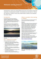 The Queensland Government encourages the community to suggest new names for geographic features in Queensland that have yet to be officially named. The place naming process includes consideration of naming issues, provision of recommendations to the relevant Minister under the Place Names Act 1994, publication of notices and maintenance of the gazetteer or register of place names. Updates, improvements and links
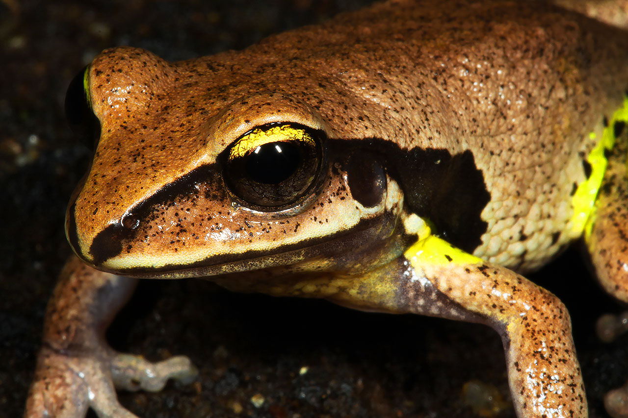
Updated tools fact sheetQueensland Wetlands Program tools fact sheet. WetlandUpdateThe WetlandUpdate is a regular bulletin sent to subscribers to provide them with the latest WetlandInfo resources and tools, as well as case studies, video information and new project fact sheets. View all of the previous WetlandUpdates WetlandInfo feedback and improvementsSend us your useful wetland information and links to add to WetlandInfo. Do you have a wetland question you just can't answer? Email us Our WetlandInfo feature frog is Litoria brevipalmata commonly known as the green-thighed frog.
WetlandInfo updates this section regularly, so keep your eyes and ears open!
For more information on frogs, visit Amphibiaweb or the Frogs of Australia website, or view species profiles in your area using the SummaryInfo search tool Last updated: 16 December 2014 This page should be cited as: Department of Environment, Science and Innovation, Queensland (2014) WetlandUpdate July 2015, WetlandInfo website, accessed 18 March 2024. Available at: https://wetlandinfo.des.qld.gov.au/wetlands/resources/publications/latest-news/2015-07-20.html |
Site footer

 — Department of Environment, Science and Innovation