

|
|
Surface Water Monitoring NetworkCoverageThe map below highlights the areas where sampling has occurred for this program. Click on the map to view information about the drainage basins in this area. 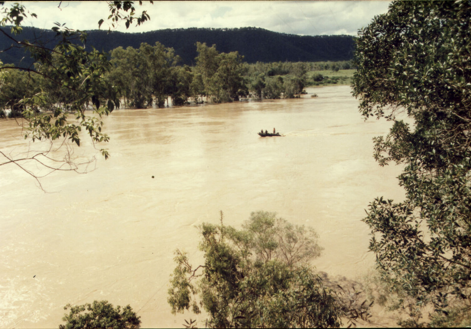 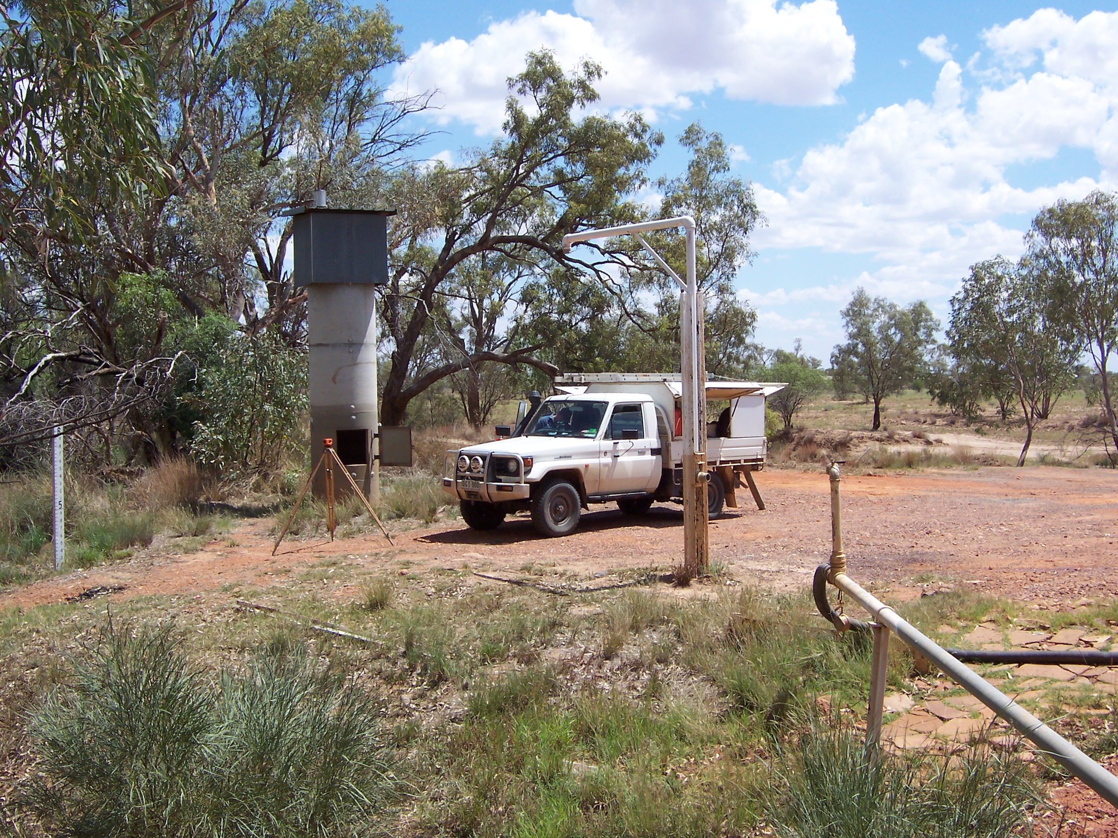 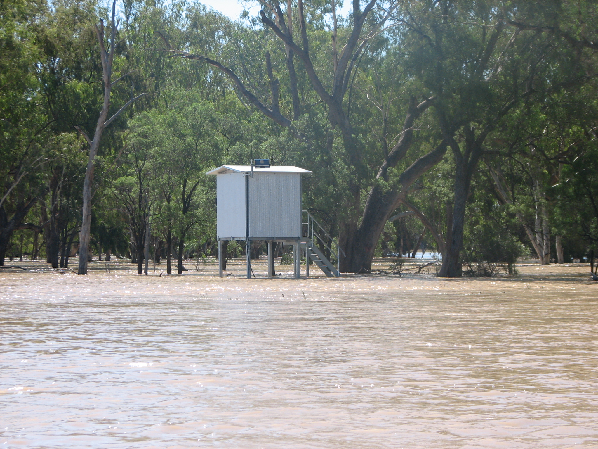 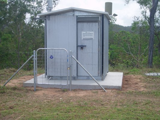 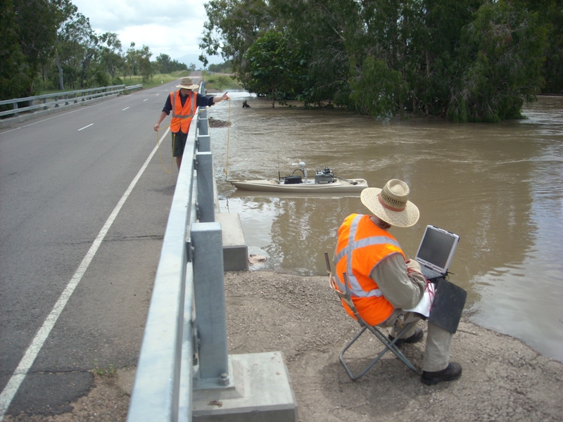 Program start date: The first river height measurement was taken at the site 143001A Brisbane River at Savages Crossing in 1909. Program end dateOngoing Objectives of the programThis program aims to:
Who is involved?Lead organisationDepartment of Natural Resources and Mines Contact details of lead organisation: water.monitoring♲dnrm.qld.gov.au Partner organisationsProvides real time information to the Bureau of Meteorology to assist with Flood Warning services List of indicators monitored
Scale of programStatewide Brief description of sampling locationsThe Surface Water Level Network consists of 400 stream gauging stations across Queensland Approximately 170 of these stream gauging stations also collect time series water quality information.Frequency of monitoringContinuous Where is the program reported?Last updated: 22 March 2013 This page should be cited as: Department of Environment, Science and Innovation, Queensland (2013) Surface Water Monitoring Network, WetlandInfo website, accessed 18 March 2024. Available at: https://wetlandinfo.des.qld.gov.au/wetlands/assessment/monitoring/current-and-future-monitoring/surface-water-monitoring-network.html |
Site footer

 — Department of Environment, Science and Innovation