

|
|
Stream and Estuary Assessment Program (SEAP) – FreshwaterCoverageThe map below highlights the areas where sampling has occurred for this program. Click on the map to view information about the drainage basins in this area. 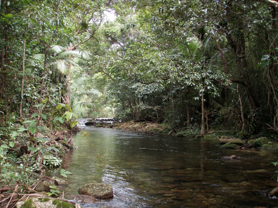 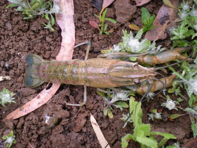 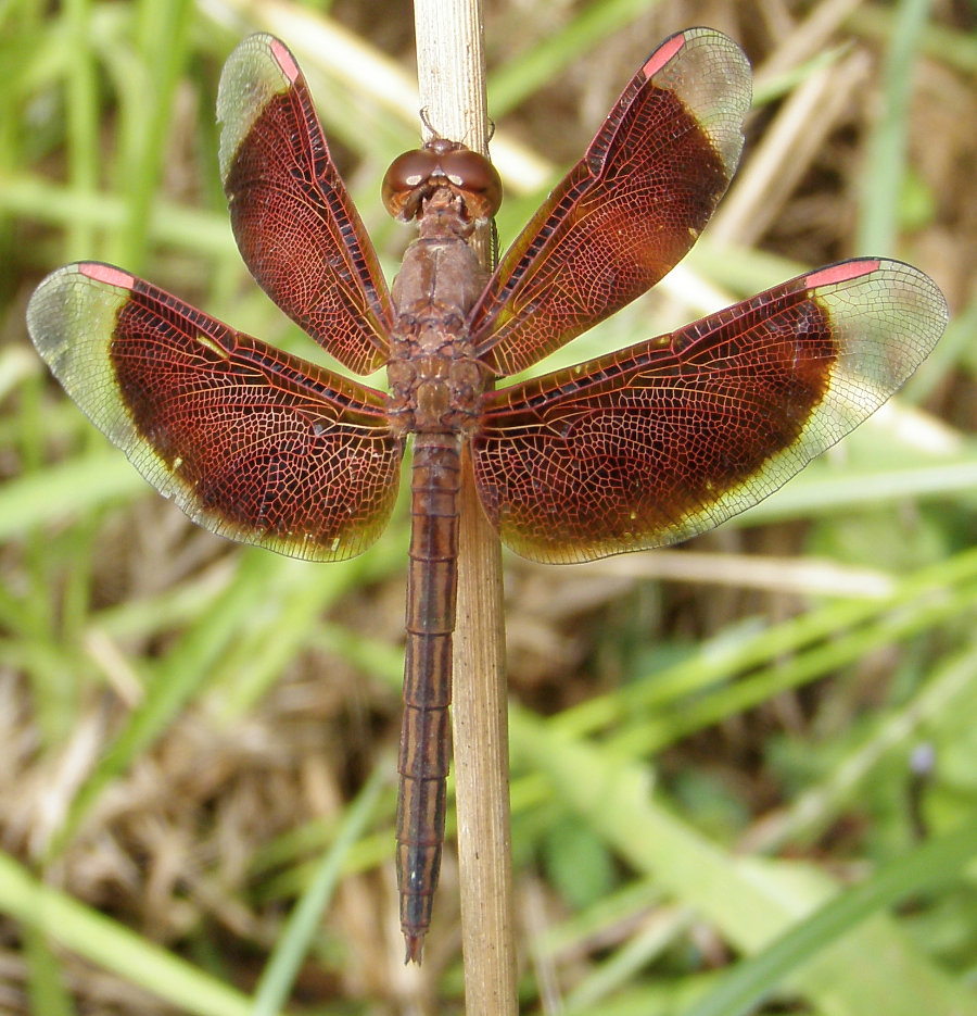 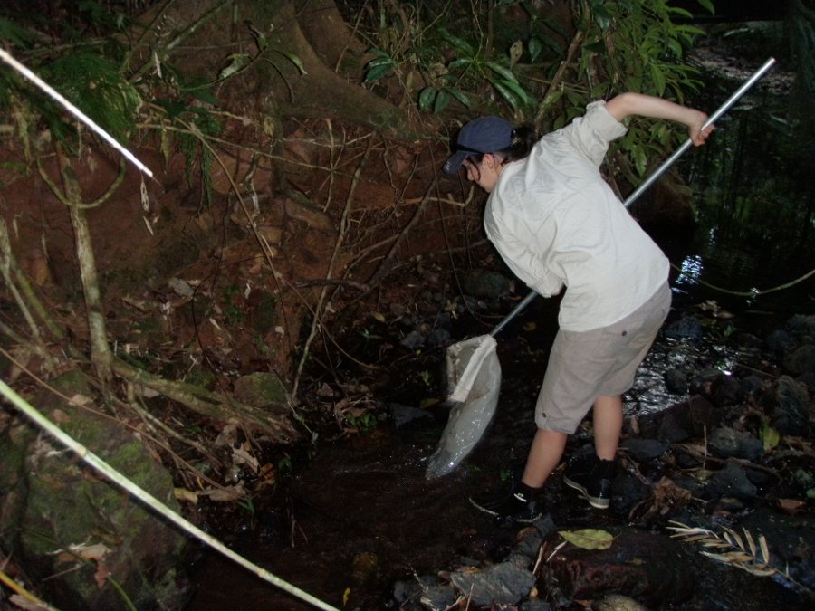 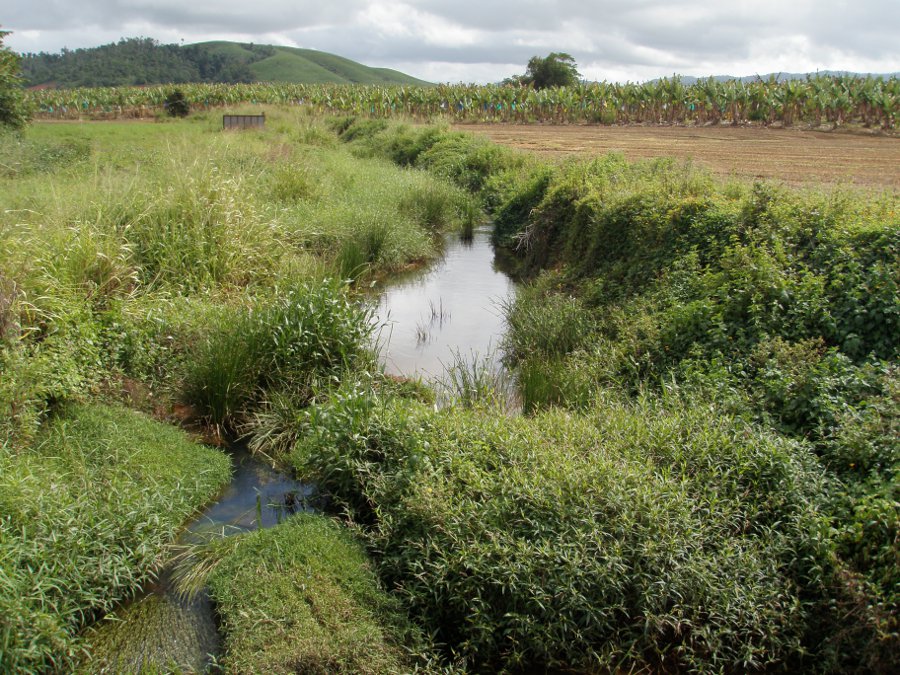 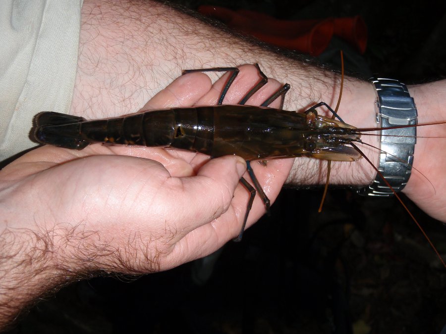 Program start dateThe biological monitoring in Queensland, from which the Stream and Estuary Assessment Program (SEAP) developed, started in 1994. The SEAP commenced towards the end of 2005. The SEAP has combined methods from a number of departmental ambient biological programs (e.g. the Monitoring River Health Initiative, the National River Health Program and the Ambient Biological Monitoring and Assessment Program), the State of the Rivers monitoring program and further innovative techniques into an integrated monitoring and assessment program. Program end dateOngoing Objectives of the programThe program aims to:
The information is aimed at informing broad-scale natural resources planning. It also has the objective to inform State of the Environment reporting and the Queensland Water Quality Guidelines. Who is involved?Lead organisationDepartment of Science, Information Technology, Innovation and the Arts (Department of Environment, Science and Innovation) Contact details of lead organisation: water.monitoring♲dnrm.qld.gov.au Partner organisationsSupport provided by Commonwealth Scientific and Industrial Research Organisation (CSIRO) and Griffith University List of indicators monitoredVaries according to province Scale of programProvince scale Brief description of sampling locationsSampling is conducted in nine freshwater biogeographic provinces across Queensland: Central, Eastern Cape, Jardine, Lake Eyre and Bulloo, Murray-Darling, South-East, Western Cape and Gulf, Wallum and Wet Tropics. Frequency of monitoringOne province sampled per year Where is the program reported?Stream and Estuary Assessment Program Last updated: 18 November 2015 This page should be cited as: Department of Environment, Science and Innovation, Queensland (2015) Stream and Estuary Assessment Program (SEAP) – Freshwater, WetlandInfo website, accessed 18 March 2024. Available at: https://wetlandinfo.des.qld.gov.au/wetlands/assessment/monitoring/current-and-future-monitoring/stream-estuary-assessment-program.html |
Site footer

 — Department of Environment, Science and Innovation