

|
|
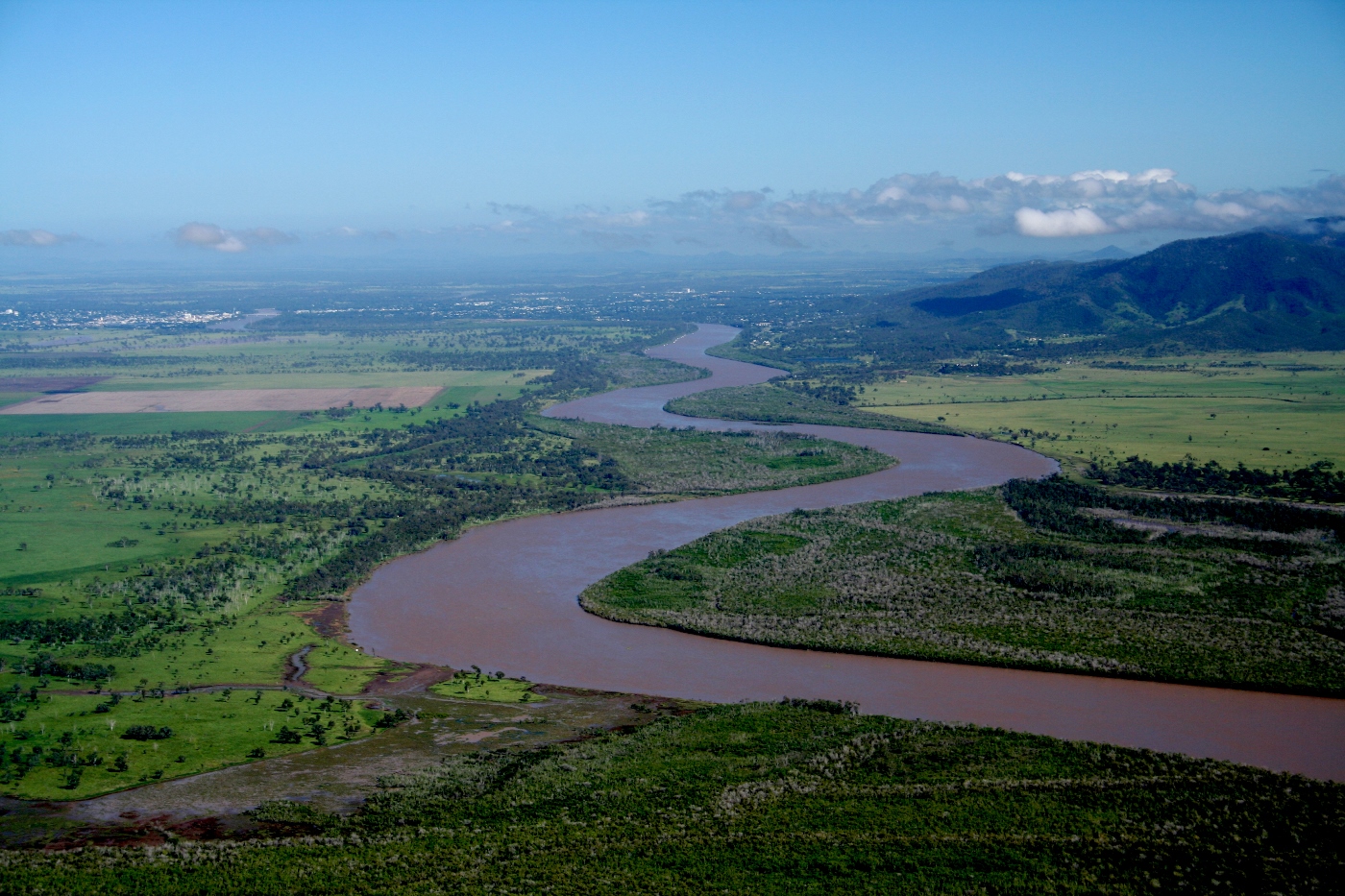
Queensland River Classification SchemeThe Interim Queensland River Classification Scheme (the QRCS) provides a standardised approach to describing and categorising the biological, physical and chemical characteristics (attributes) of rivers. The attribute-based classification scheme provides a common understanding and language of classification to improve communication and lead to better research, decision making and management outcomes. The approach underpinning the QRCS is consistent and integrated with the classification approach for all aquatic ecosystems in Queensland.    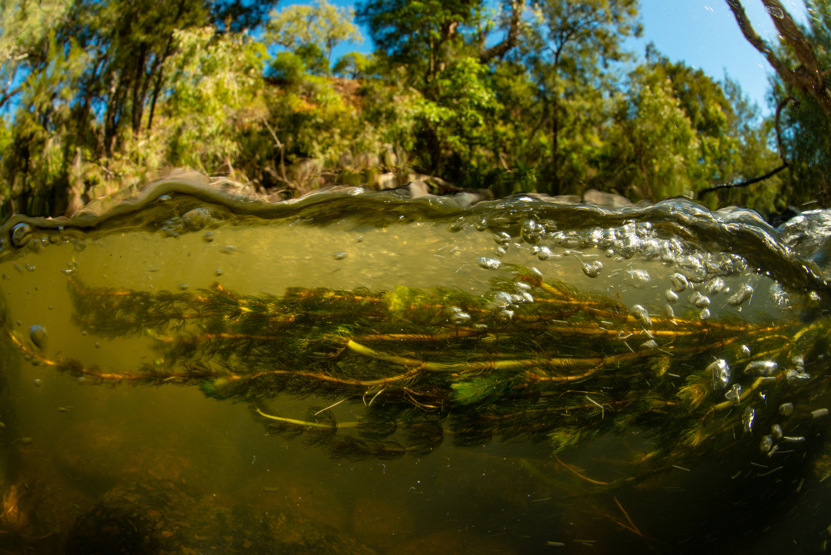 PurposeThe rivers of Queensland have varied geomorphology, ecology, hydrology and water chemistry. The QRCS includes all water channels, both single and multichannel systems, and their floodplains. It extends from the headwaters to the limit of tidal influence for those rivers that flow into the sea. It also applies to channels that terminate inland (endorheic). Classifying rivers helps in understanding how they function, their status and values, and how to properly manage them. The values associated with river systems in Queensland range from cultural heritage, amenity and recreation to agriculture and industry. Flood mitigation and resilience are also values associated with these systems. These are often discussed in association with ecosystem services and benefits. To date, a clear and consistent definition and classification scheme is yet to be widely used and accepted. This causes discrepancies in terminology, confusion within the literature and challenges for management agencies. The QRCS is an attribute-based classification that is consistent with the Interim Australian National Aquatic Ecosystem (ANAE) Classification Scheme and other aquatic ecosystem classification schemes in Queensland. While intended for Queensland conditions, the scheme can be applied to any Australian or international systems. The QRCS was developed with input from policy makers, scientists from state government and universities, consultants and natural resource management practitioners. It has been developed alongside the Queensland River Rehabilitation Management Guideline and Aquatic Ecosystem Rehabilitation Process, all of which are complementary tools that can be applied to effectively manage Queensland’s rivers. ScaleThe eight scales (levels) are related to both spatial and temporal scales of change in rivers. These are region, subregion, landscape, super-reach, reach, site, patch and micro-patch. The eight scales allow users to select a relevant scale for their purpose and scope to select relevant attributes that are measurable at that scale (Module 1).  Development and application of attributesFor each spatial scale there is a set of attributes across the themes of climate, terrain, geology, substrate (physical and chemical), hydrology (physical and chemical), and biota. Close to 200 biophysical attributes have been collated that can be applied to classify rivers. The attributes can be divided into categories with metrics determined. Ideally a standardised method to measure the attribute is determined. Development of the schemeThe three stages of the scheme are attribute classification, typology, and mapping. There are feedback loops between each one of the stages. Typologies can be created in a consistent manner for a given purpose. Mapping of some attributes may not be possible due to a lack of data, or the variable temporal and spatial nature of some habitats at the current time, or data for only a limited area. 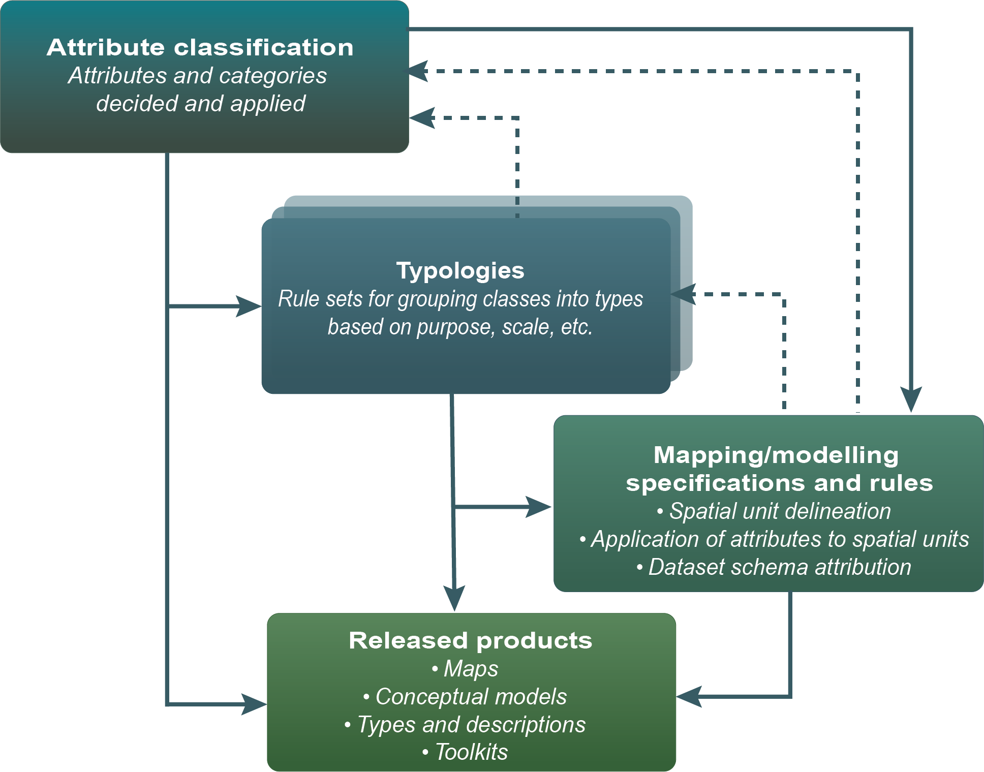 Additional links:Pages under this sectionLast updated: 8 October 2023 This page should be cited as: Department of Environment, Science and Innovation, Queensland (2023) Queensland River Classification Scheme, WetlandInfo website, accessed 18 March 2024. Available at: https://wetlandinfo.des.qld.gov.au/wetlands/what-are-wetlands/definitions-classification/classification-systems-background/queensland-river-classification/ |
Site footer

 — Department of Environment, Science and Innovation