

|
|
Shorebirds South East coastlineThe South East coastline is the most populated stretch of coastline in Queensland. Despite this, the region hosts significant numbers of shorebirds and other waterbirds. The Great Sandy Strait and Moreton Bay Ramsar wetlands of international importance are located here. Queensland shorebird species - Bird wetland indicator species and profiles 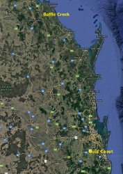 Quick facts
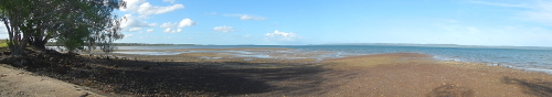 At the northern end of the South East coastline there are small rivers and creeks, as well as estuaries between Baffle Creek and Hervey Bay. The larger of these, the Kolan, Burnett, Elliott and Burrum River estuaries support several hundred shorebirds, as well as other waterbirds and seabirds. Even the smallest estuaries host diverse populations. These waterways generally open onto a sandy beachfront and usually include mangroves and tidal flats. Upstream from the small river and creek mouths, the substrate becomes muddier and a range of shorebird species may be present. Terek sandpiper often occur well upstream on muddy banks, whereas fair to medium numbers of sand plovers and other species typically occur downstream. Farther south, especially south of the Burrum River, shorebirds feed on tidal flats. 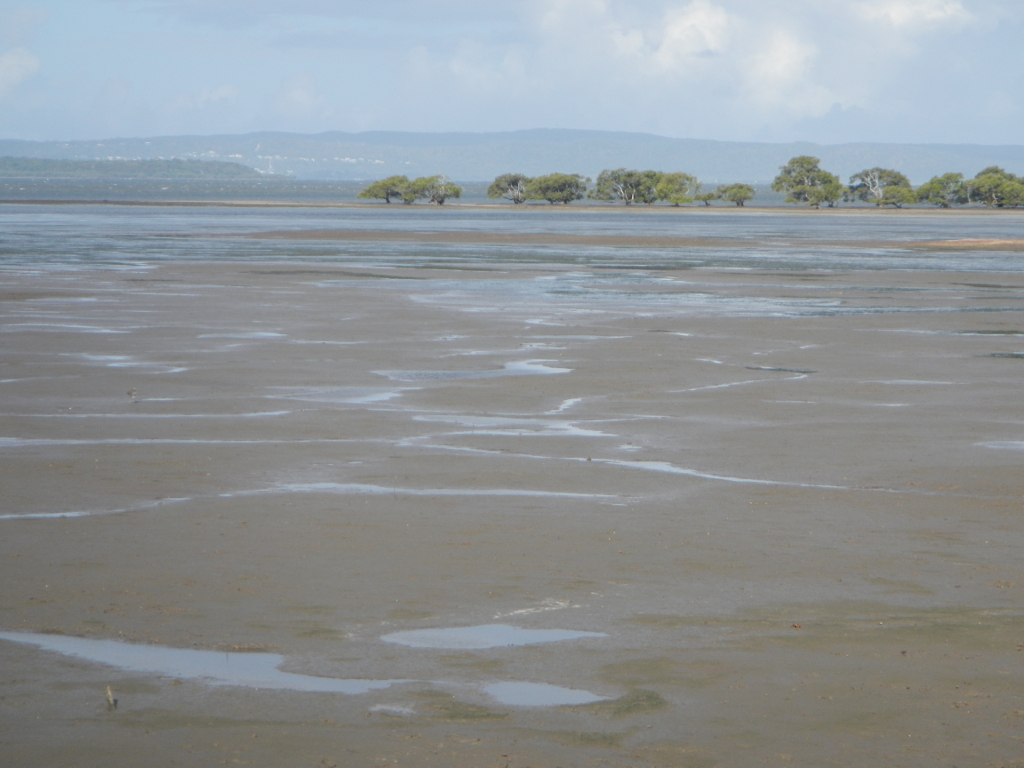 Expansive tidal flats adjoin the mainland areas throughout the Great Sandy Strait and on the west coast of K'gari (Fraser Island) providing significant habitat for shorebirds in Queensland. Estimated shorebird numbers between 35,000 in 1993 and 25,000 in 2013 have been recorded. Approximately a third of the Great Sandy Strait is intertidal mudflat or sandflat, the remainder includes mangroves, seagrass, saltmarsh, sandy spits and forested islands. There is a high diversity of shorebirds, including sanderling and beach stone-curlew that use the eastern beach front on K'gari (Fraser Island). To the south of the Great Sandy Strait and K'gari (Fraser Island) there are many kilometres of open beach front in between the estuaries of the Noosa and Maroochy Rivers, as well as Currimundi Creek where there are modest numbers of shorebirds. A little farther south begins the maze of estuaries and rich tidal flats that are sheltered by the large, inshore sand islands of Bribie, Mulgumpin (Moreton), Minjerribah (North Stradbroke) and Minjerribah (South Stradbroke) Islands. These islands not only provide roosting and nesting habitat for many species such as little tern, beach stone curlew, pied oyster catcher and red-capped plover, 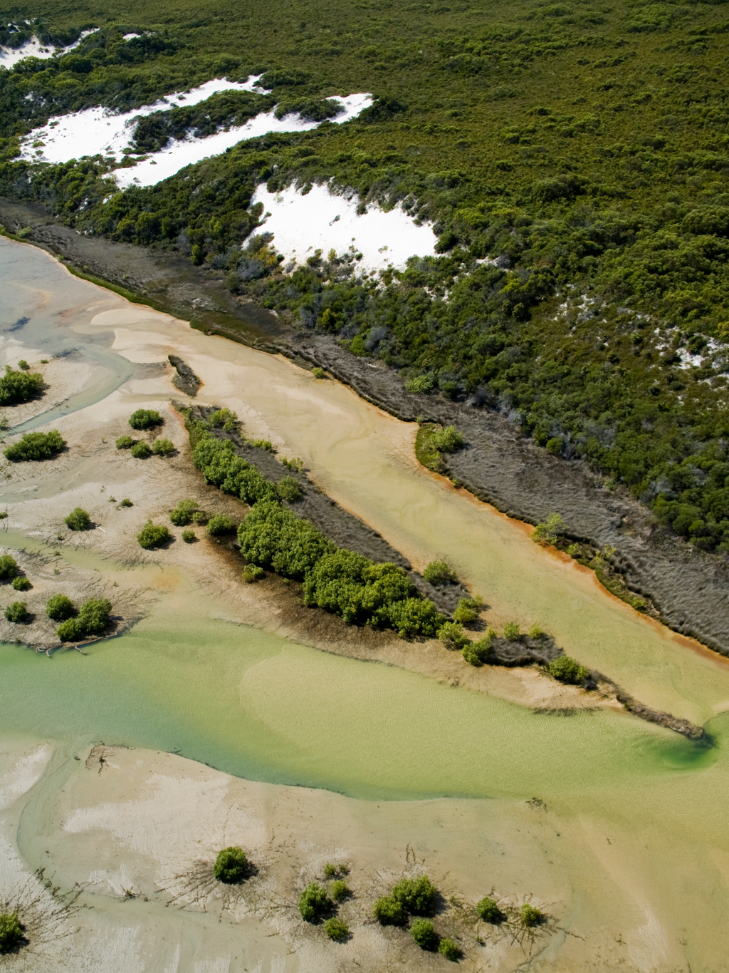 Being so close to a major capital city, the area has received considerable attention from shorebird enthusiasts over the years, particularly since 1992 when the Queensland Wader Study Group began regular shorebird monitoring. Earlier data has been collected by the Australian Waderbird Study Group, but at far fewer sites. Artificial high tide roost sites have been built to offset the loss of habitat as a result of coastal development in some locations. The feeding substrate for shorebirds differs throughout Moreton Bay with a major distinction between predominantly muddy sediment on the western side and sandier sediment on east shores, which is reflected in the relative numbers of different species of shorebirds. Variation also occurs along the western foreshore due to local impacts and changes in the substrate. Major feeding areas occur in Tripcony Bight and between Donnybrook and Toorbul in Pumicestone Passage, in Deception Bay, Hays Inlet, and the mainland foreshore between Nudgee all the way south to Redland Bay. The expansive flats at the southern end of Mulgumpin (Moreton Island) and the western side of Minjerribah (North Stradbroke Island) to Canaipa (Russell Island) have the highest numbers of shorebirds anywhere in the Bay. Farther south in the Bay, where the tidal flats are narrower and the recreational use is high within the network of channels, shorebirds appear to be less numerous. There are several shorebird sites within the Broadwater and channels of the Gold Coast, with species such as eastern curlew, whimbrel and crested tern regularly found in the vicinity of Jumpinpin and Curlew Island. The significance of Moreton Bay and the Great Sandy Strait for shorebirds is recognised by inclusion in the Flyway Site Network and as Ramsar sites. Additional information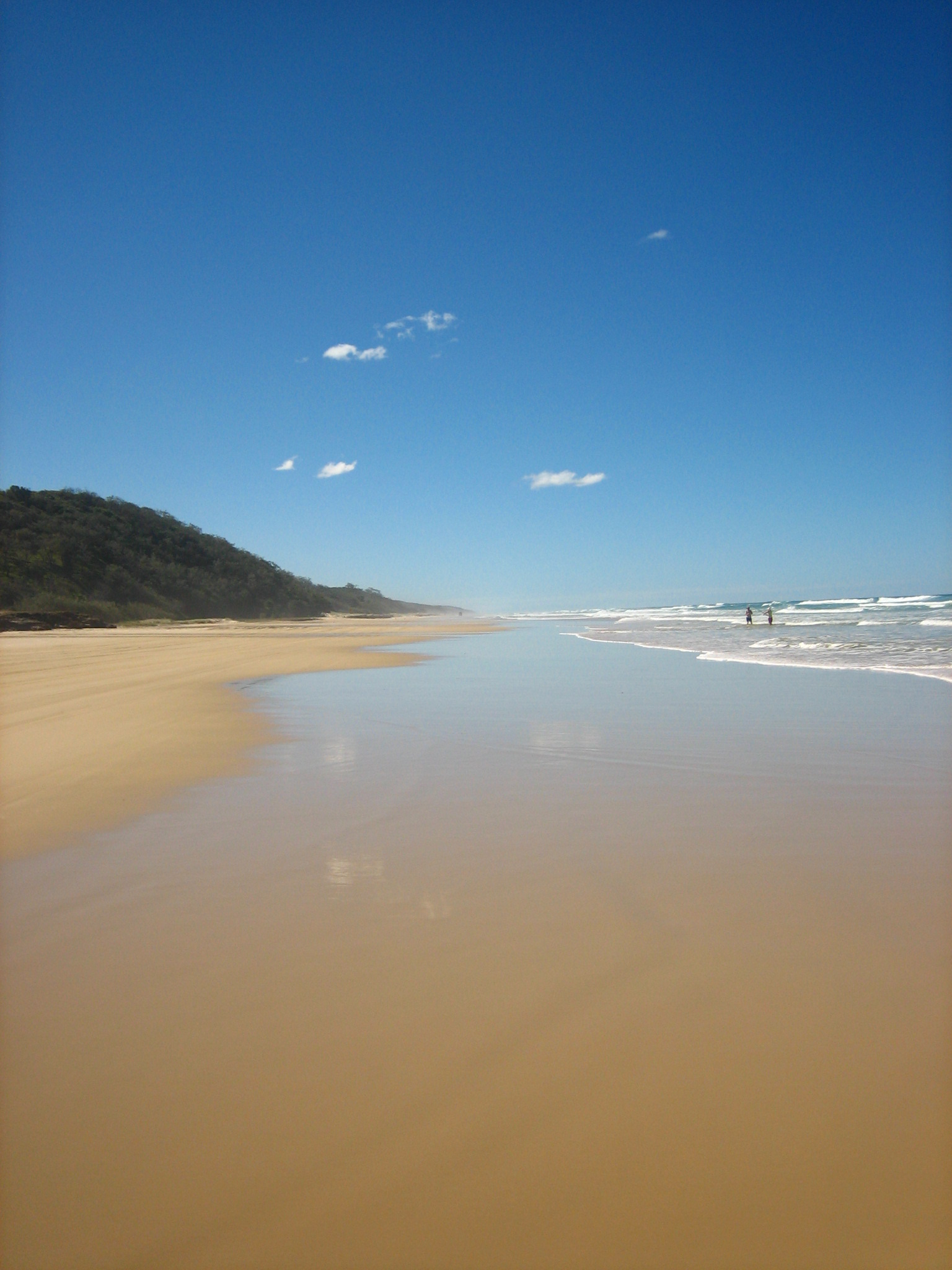
AcknowledgementsThis information has been compiled by the Queensland Wader Study Group with input from the Queensland Parks and Wildlife Service, researchers and volunteers (from Australasian Wader Study Group, Birds Queensland, the Port Curtis Wader Study Group, the Wildlife Preservation Society of Queensland, Birds Australia and the Mackay Conservation Group). These pages are primarily sourced from the report prepared by the Queensland Ornithological Society Inc for the Queensland Department of Environment and Heritage Protection and the Australian Heritage Committee, Driscoll, P. V. 1995. Survey of wader and waterbird communities along the central Queensland coast. Please note the information above is based on the best available at the time of publication. Last updated: 2 February 2021 This page should be cited as: Department of Environment, Science and Innovation, Queensland (2021) Shorebirds South East coastline, WetlandInfo website, accessed 18 March 2024. Available at: https://wetlandinfo.des.qld.gov.au/wetlands/ecology/components/biota/fauna/fauna-taxon/birds/shore-bird/migratory-qld/south-east.html |
Site footer

 — Department of Environment, Science and Innovation