

|
|
Precipitation (including rainfall), runoff and infiltrationPrecipitation is any form of water, such as rain, snow, sleet, hail, or mist, that falls from the atmosphere and reaches the ground[13]. Runoff is the water flow that occurs when either (1) soil is infiltrated to full capacity or (2) rainfall occurs at a rate greater than the rate at which it can infiltrate the soil. The resultant 'excess' water from rain and other sources flows over the land[9]. Infiltration is the flow of water from the ground surface into the soil, together with the associated flow away from the ground surface within the unsaturated zone (groundwater)[12]. 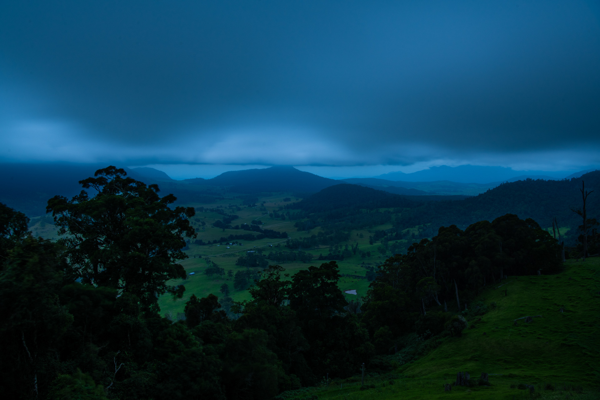
Water is a key defining feature of a wetland and drives most of the processes associated with a wetland and the services a wetland provides. Wetlands receive water directly when precipitation falls on the wetland or indirectly when precipitation falls outside the wetland and is transported to the wetland by surface or groundwater flow[13]. Precipitation and rainfallRainfall is the total amount of liquid precipitation or condensation from the atmosphere[2]. There are four ways that a rainfall event is defined:
Rainfall data may be presented in various forms. These include a relationship between rainfall intensity, duration and frequency (IDF) curves which are based on historic records and give an average rate of rainfall (mm/h) corresponding to a given storm duration and specified return period[10]. Direct rainfall is the main source of water in some areas, but commonly it is exeeded by the evaporation rate. Rain may also fall a distance away from the wetland and travel via watercourses, groundwater and overland flow to the wetland, such as in the Lake Eyre Basin. Rainfall patterns are associated with climatic processes and can have a major influence the ecology of the wetland. Rainfall is an important source of nutrients and sediments for wetlands and energy associated with rainfall can mobilise sediments and have dramatic and lasting impacts on wetland ecosystems[8]. The Bureau of Meteorology has information on rainfall observations and patterns for Australia. RunoffThere are a variety of ways by which runoff can occur, including through surface runoff (overland flow), channel runoff and sub-surface flow. The overland flow can either enter streams and rivers, infiltrate into the ground, or evaporate. Water that infiltrates into the ground, and water in channels may also recharge groundwater, which later discharges in a variety of ways. Runoff is affected by rainfall (type, intensity, amount and distribution over the catchment), the direction of storm movement, existing soil moisture levels, and other meteorological and climatic conditions that affect evapotranspiration, such as temperature, wind, relative humidity, and season. Runoff is also affected by the physical characteristics of the catchment such as vegetation, soil type, catchment area, catchment shape, elevation, topography (including the slope of the land), drainage network patterns, wetlands and resevoirs in the catchment and any anthropogenic modifications (dams, hard surfaces and infrastructure)[12]. As runoff is generated, when the rate of rainfall exceeds the rate that it can infiltrate into soils, when soils are saturated, or when water features in the landscape are already full, it takes less rainfall to generate run-off[4]. Runoff and other hydrological variablesThe quantity of runoff entering a wetland affects the water regime of a wetland and the residence time of water movement through the wetland. The hydrological regime of a wetland is a function of the net difference between inflows and outflows from the atmosphere, ground water, and surface water runoff. Some wetland systems exchange water quickly, with water remaining within the wetland for only a short duration of time, while water may travel very slowly through other wetland systems. For example, seasonally flooded wetlands, fluctuate slowly, while others, such as tidal marshes, fluctuate dramatically over short periods of time. The residence time is the ratio of the volume of water within the wetland to the rate of flow through the wetland. Short residence times occur when the flow through the wetland is large compared to its volume, for example when a small wetland lies within a large contributing catchment, while longer residence times occur when the flow is small compared to its volume[11]. Floodplain vegetationThe structure of plant communities in wetlands is related to water regime. Plant community structure is also related to wetland type, with differences in vegetation structure being found between the communities of floodplain depressions, flood-runners and cut-off meanders. There are less emergent plants in deeper, open water, and may instead have more floating plants (non attached to the bottom of a wetland). Shallow wetlands, and wetlands with exposed, saturated soil contain more emergent vegetation. Managers of wetland ecosystems need to consider both wetland type and water regime when planning strategies for the restoration or conservation of floodplain wetland vegetation in regulated river systems[1]. First flushThe first flush is the discharge at the initial stage of a runoff event that contains high concentrations of pollutants[6]. The first large rainfall of the season generally mobilises the contaminants that have built up in the catchment, creating a larger discharge which is called a “seasonal first flush". Seasonal first flushes have been observed in north Queensland, occuring in December/January (start of the wet season). These result in peak concentrations of dissolved inorganic nitrogen (DIN), ammonium-N and nitrate-N, generally observed in the first month after fertiliser application. The first flush events are most obvious in small catchments of regular shapes, where there is a more direct relationship between rainfall runoff and discharge. In larger catchments, the first flush events are confounded by the dilution and delay in transport of the pollutants from different parts of the catchment. The existence of a first flush presents opportunities for stormwater pollutant reduction through treatment systems, as the cost effectiveness of treatment is better at higher concentrations of contaminants. Mass first flushes may be less frequently observed than concentration first flushes, and with lower magnitudes. This is due to the nature of the runoff, which generally has a lower flow rate at the beginning of the storm than in the middle of the storm. Therefore, the mass emission rate in the middle of the storm event may be greater than at the beginning of the storm event, in spite of lower concentrations in the middle of the storm. Infiltration and PercolationThe rate of infiltration varies with the amount of water at the surface, the depth of the water table, the hydraulic properties of the subsurface materials, and the existing moisture content of the sediment and soil[5]. Soil infiltration rates are usually high at the beginning of a rain event preceded by a dry period, and decrease as the rain continues, however this is also dependent on factors such as the rainfall intensity and the vegetation properties of the local area. If rainfall occurs on wet soils, runoff will be higher. Sandy soils frequently maintain high infiltration capacity for longer periods of time[3]. Infiltration is generally lower in tropical and temperature soils and higher in arid and semi-arid soils. After several hours run-off is nearly constant because the soil becomes clogged by particles and swelling clays. Percolation is the flow of water through soil and porous or fractured rock[12] and occurs after infiltration. As the water percolates into the deeper layers of the soil, it reaches groundwater, the upper surface of this underground water is called the "water table". Groundwater flow to a stream or river is termed baseflow. Baseflow supports streamflow and wetlands between rainfall events[7]. References
Last updated: 20 October 2023 This page should be cited as: Department of Environment, Science and Innovation, Queensland (2023) Precipitation (including rainfall), runoff and infiltration, WetlandInfo website, accessed 18 March 2024. Available at: https://wetlandinfo.des.qld.gov.au/wetlands/ecology/processes-systems/precipitation/ |
Site footer

 — Department of Environment, Science and Innovation