

|
|
Central Freshwater Biogeographic ProvinceCentral Freshwater Biogeographic Province – Photos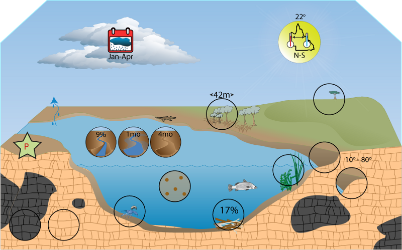 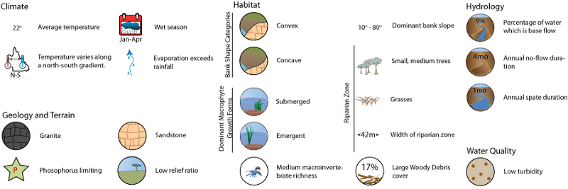 Click on elements of the model or select from the tabs below   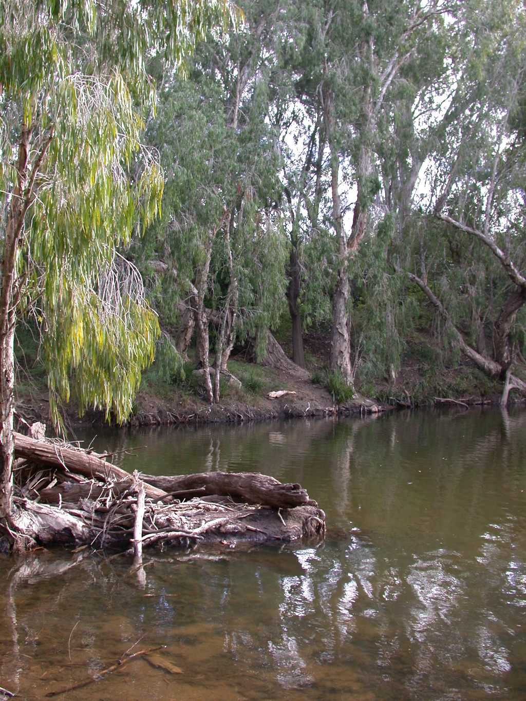 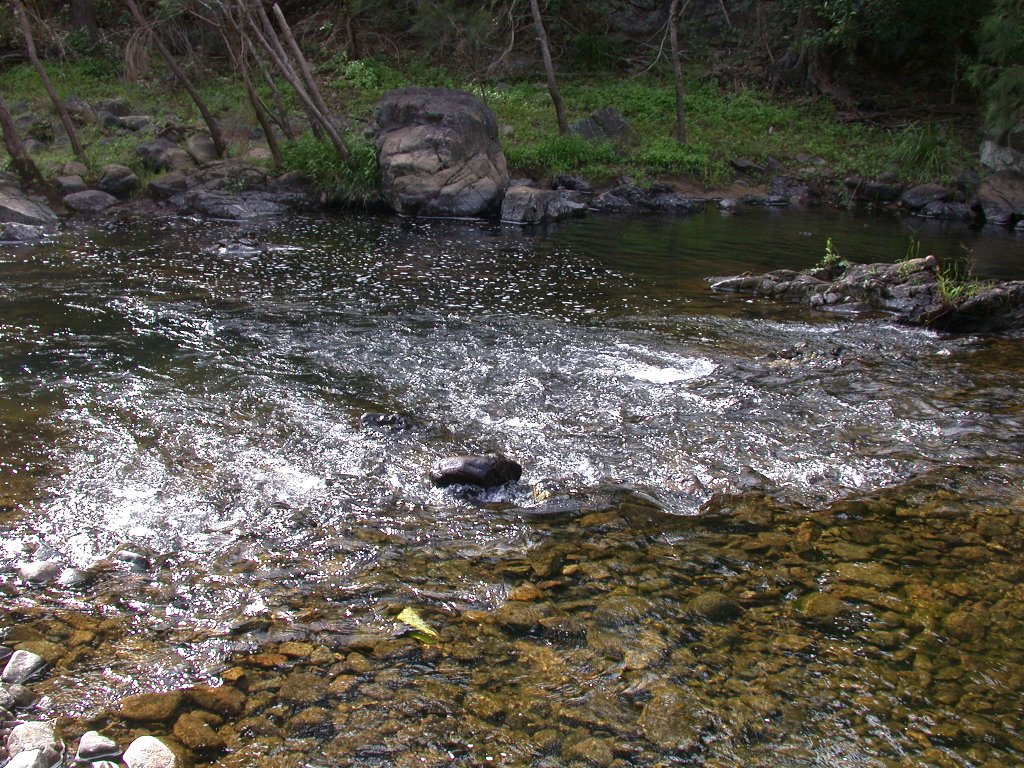 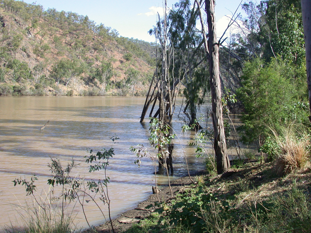 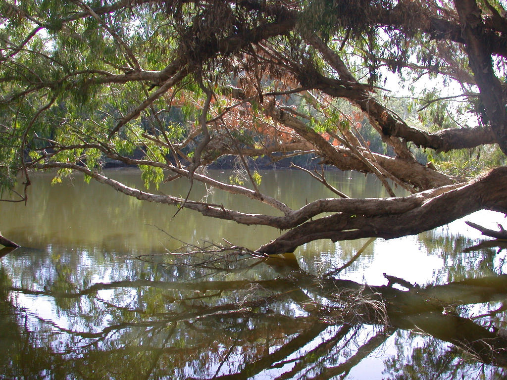 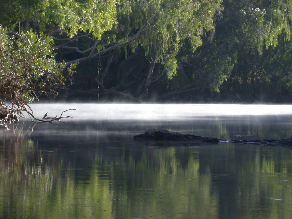 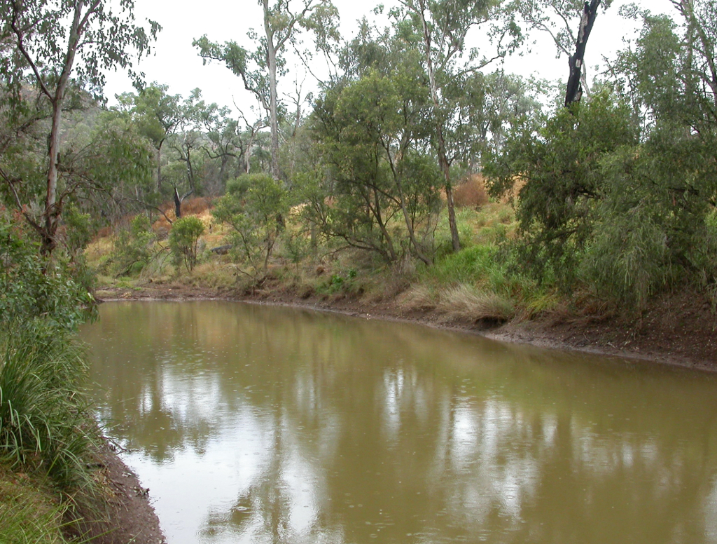 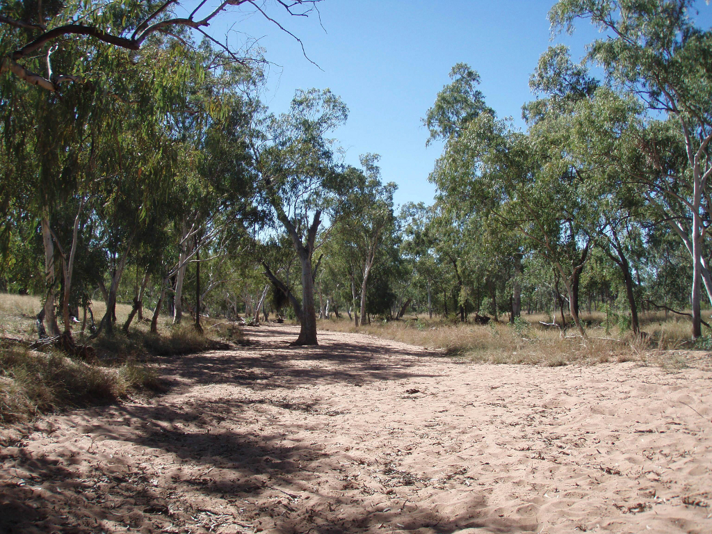 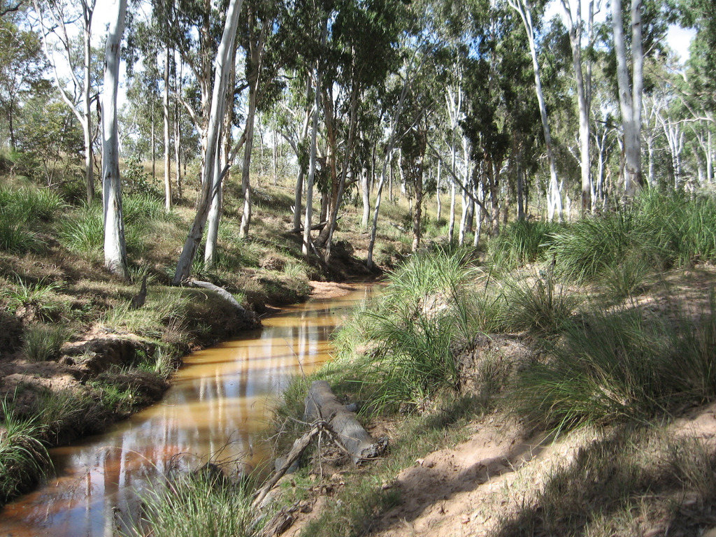 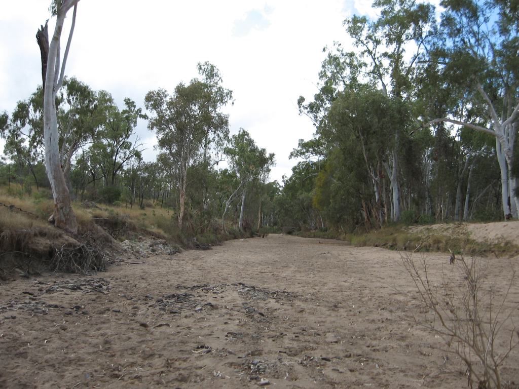 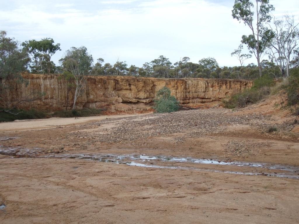 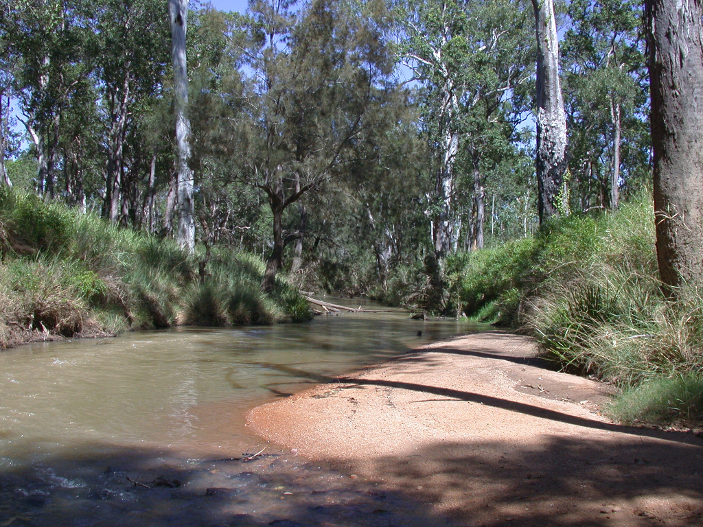 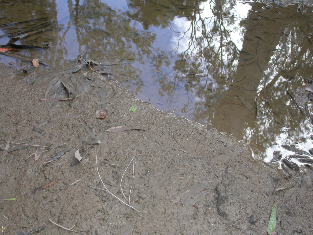 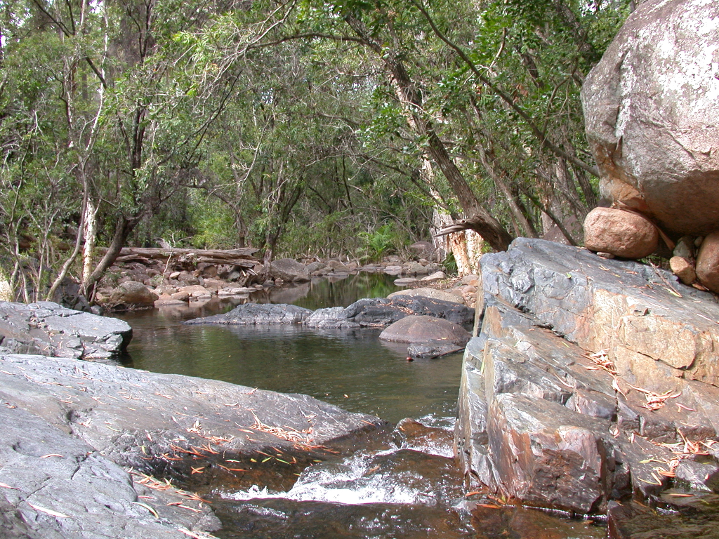 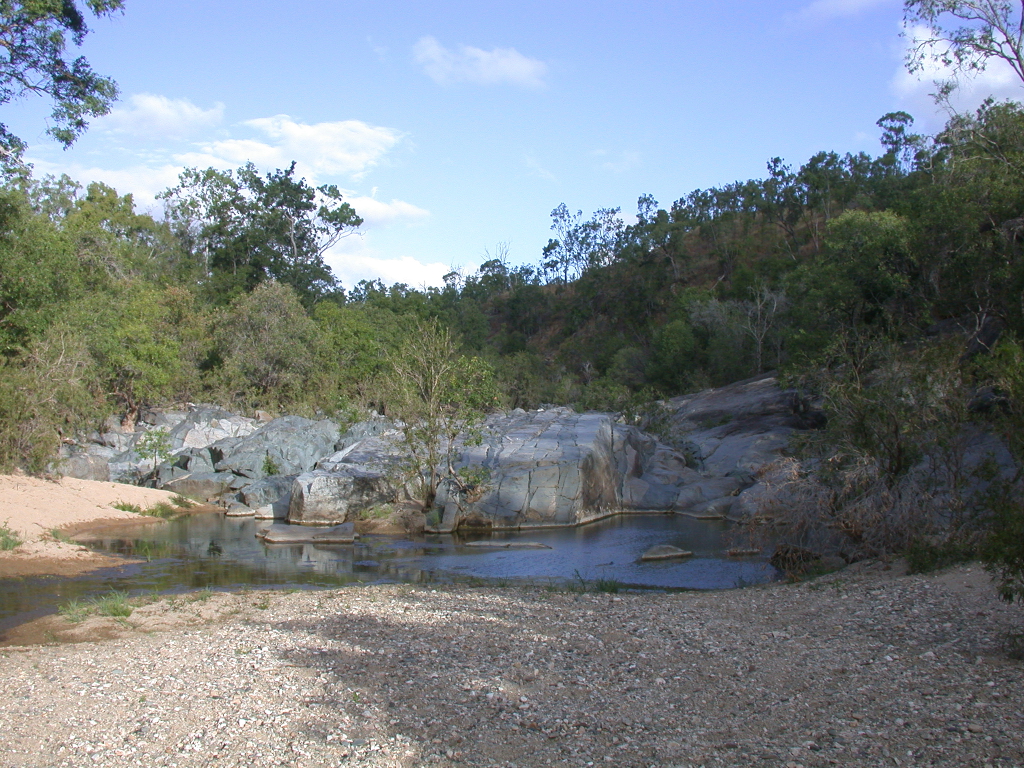 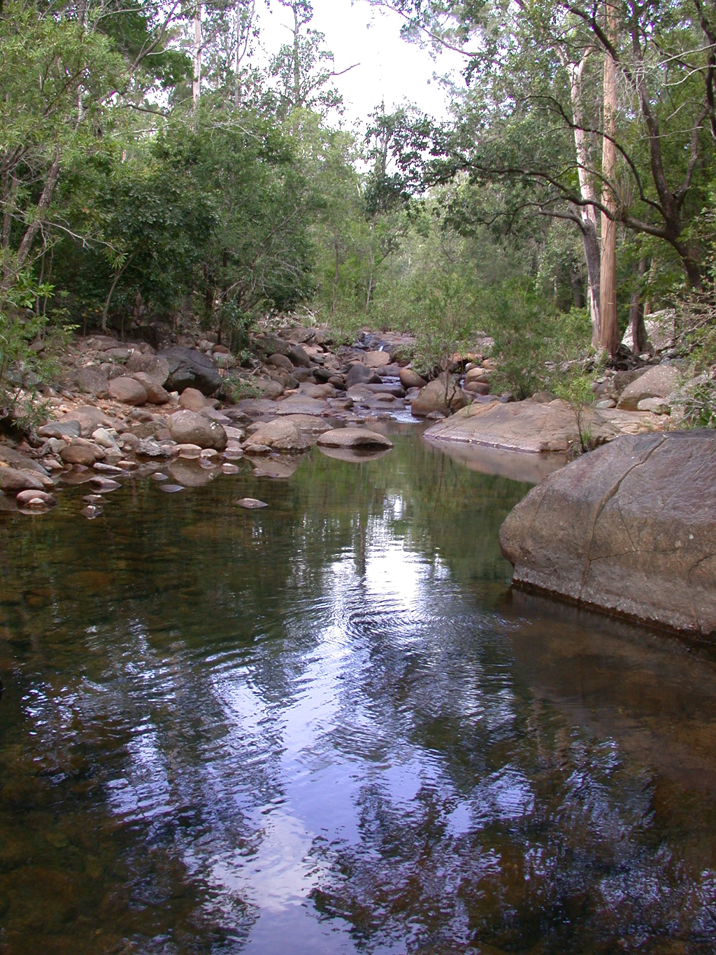 Last updated: 22 March 2013 This page should be cited as: Department of Environment, Science and Innovation, Queensland (2013) Central Freshwater Biogeographic Province – Photos, WetlandInfo website, accessed 18 March 2024. Available at: https://wetlandinfo.des.qld.gov.au/wetlands/ecology/aquatic-ecosystems-natural/riverine/freshwater-biogeo/central/photos.html |
Site navigation
Site footer
© The State of Queensland (Department of Environment, Science and Innovation) 2024

 — Department of Environment, Science and Innovation
You are here:
Ecology
Plants, animals, soils, water and more (components)
How wetlands function (processes)